Ousatonic Dam & Canals
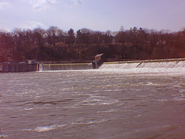
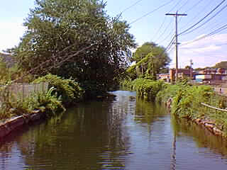
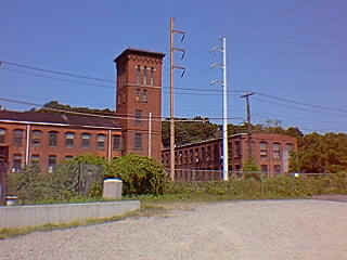
Paralleling Roosevelt Drive (so named after President Roosevelt motored its length) on the right flows the Housatonic River, the third largest river in New England. Its drainage area covers over 2,000 square miles, and it was long considered an ideal site for utilizing the river’s water power. However, early proposals dating from 1838 were not developed because of the opposition of residents who feared its impact on the shad fisheries. By 1864 supporters demonstrated how properly built fish weirs could lead the shad over the dam, and obtained State approval to construct a dam. On the right is the Ousatonic Dam, built over three years by Edwin N. Shelton for the Ousatonic Water Company at a cost of $320,000. The length is 686 feet, and 22 feet high,, with a reservoir behind the dam stretching five miles back. The dam was built of solid masonry, covered with granite, with canals on either side and a lock on the western canal. This dam represented an engineering feat very unusual for its day. It opened October 10, 1870 with a parade and much celebration. The parade marshal Dr. Ambrose Beardsley predicted that factories, homes and churches would grow up because of the dam. The accuracy of his prediction is supported by the wide diversity of manufacturing establishments that operated along the river: from the five -story Birmingham Corset company employing 300 people to James N. Wise’s confectionery where ice cream was frozen by water power. In addition, the rise of the city of Shelton across the dam dates from this enterprise. On the left is Books by the Falls, a book store featuring out-of-print as well as new books in all subject categories, located in "The Old Cow Shop", a brick factory building dating from the late 1800s. Continue heading east, and Roosevelt Drive will become Main Street in the center of town. |
|
||
|
|||